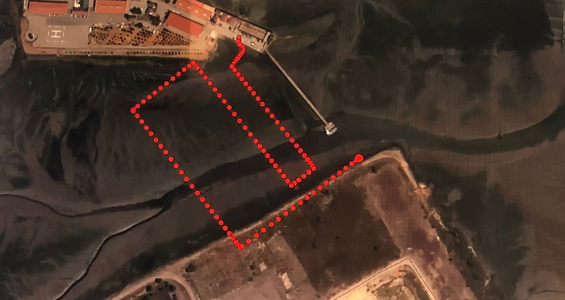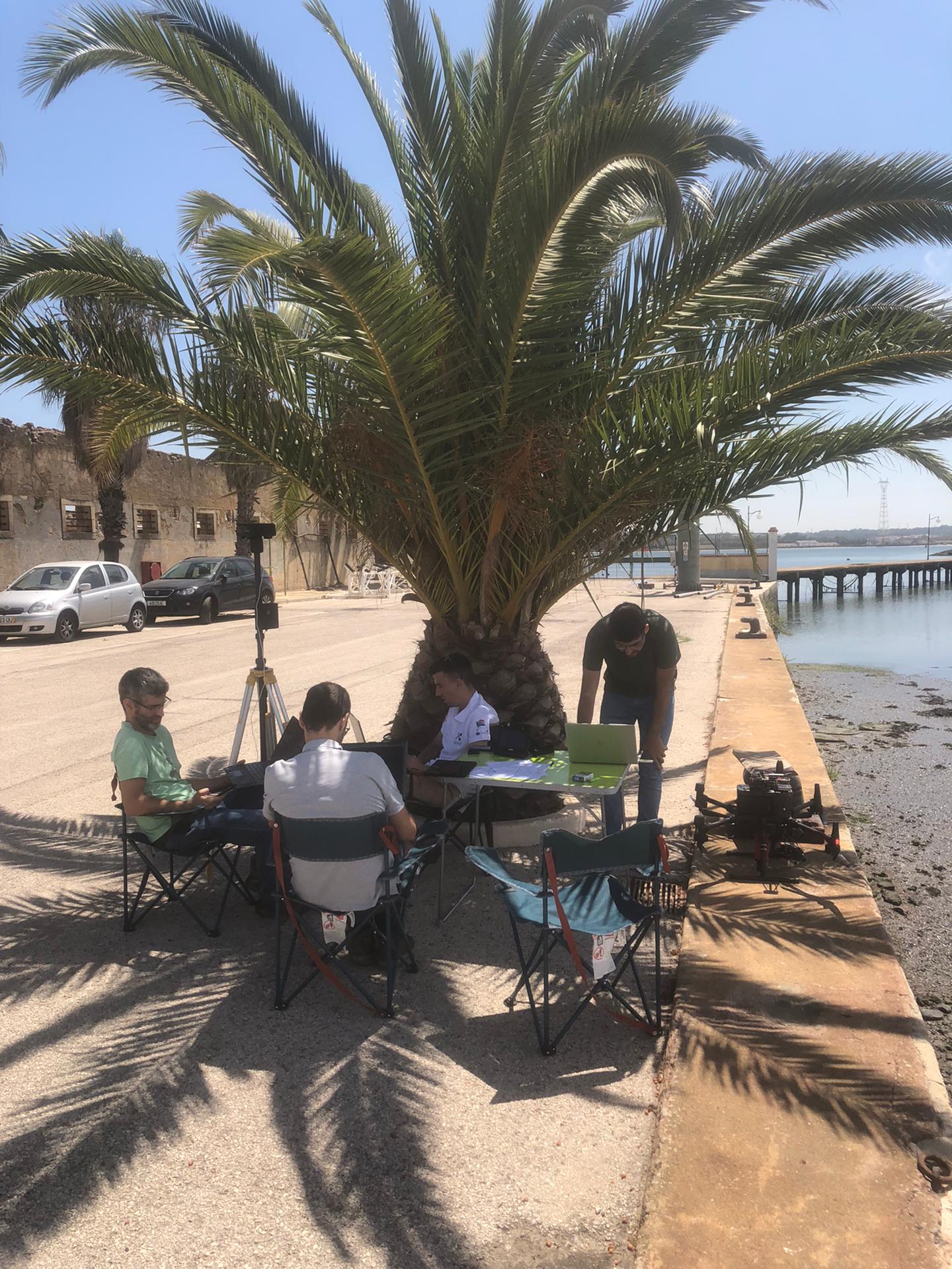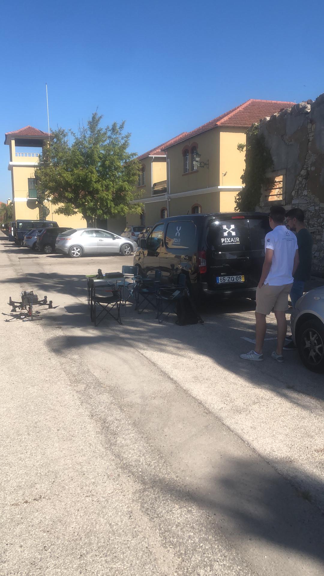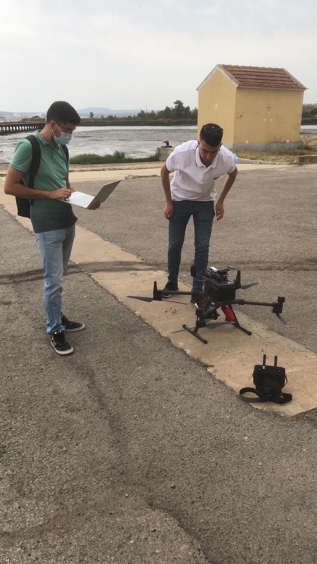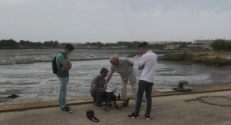
During the month of July of 2022, the SIMShore team was in Azinheira, Seixal, at the facilities of Instituto Hidrográfico, to perform a test campaign with the drone equipment in shallow waters.
The main objective of this campaign was to calibrate the SIMShore drone’ sensors and to perform autonomous flights to collect multispectral images.
The drone is equipped with rotary wing UAVs and sensors to perform the surveys. Auxiliary sensors were selected for the purpose of validating the data acquired, as the Chameleon3 camera and Applanix Inertial Measurement Unit (IMU) were used together for georeferencing validation. The team has been performing several campaigns to ensure that these auxiliary sensors are calibrated in order to provide accurate data.
The multispectral images acquired during the activity are being used to extract bathymetry data through differential penetration at different solar radiation bands (colour). The algorithm to extract this data was designed in the scope of the SIMShore project, and it is currently being tested.
Check out the image gallery bellow!